Charts & Publications
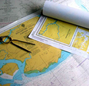
Nautical Charts are essential tools for marine navigation. Depending on the scale of the Chart it will show the depth of the sea, natural features of the seabed, details of the coast Line, Navigational Hazards, Location of natural and human made aids to navigation, information On tides and currents, local details of earth’s Magnetic field, and human made structures such as harbours, buildings and bridges. Nautical charts will have the format of charts printed on paper or computerised electronic navigational charts. Charts and Publications are published every year with current and updated edition of charts.
Minar Qatar offers a complete range of Navigational Charts & Publications and services to meet the Fleet managers and professional mariners. In addition Minar Qatar has the POD (print on demand)facility to supply charts on urgent need.